Geoinformatics
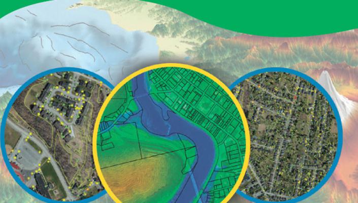
Geoinformatics consists of two sub-branch: Geographic Information System (GIS) and Remote Sensing (RS). GIS enables enterprises and governments to have complicated systems integrated easier and faster. It allows them to perform spatial analyzing and visualizing on maps, in which they could have a big picture of their data and can make right decision and even faster. RS allows them to see things from space or above the ground. Enterprises and governments could use Remote Sensing technique to observe the changes on the ground faster than ever before through the image captured from satellites, aircraft, or UAV (drone). It allows them unlimited access to the information on the ground anywhere on earth without the needs to send their officers to the site. We, KHMER-IO, has the knowledge and technology to serve you all you need in the field of spatial technology.
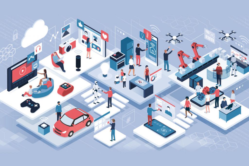
Industry 4.0 – Adapt to survive
As the Industry 4.0 continues to change the ways we interact with our world, it is important for businesses, governments, and even citizens themselves to adapt those changes. What do you need for the changes?
- New Business Models
- New Technology – Internet of Things (IoT), Business Intelligent (BI), Mobile Applications,…etc
We, KHMER-IO, are ready to assist your organisation.
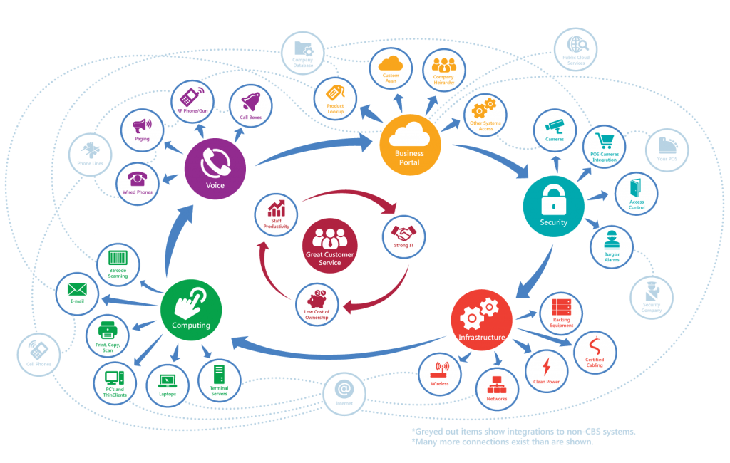
System Integrations
Information Management plays an important roles in modern businesses. Collaboration and Cooperation always require system integration. Having such good system integration strategy results in business continuity.